How land use maps are empowering eco-farmers

Episode description
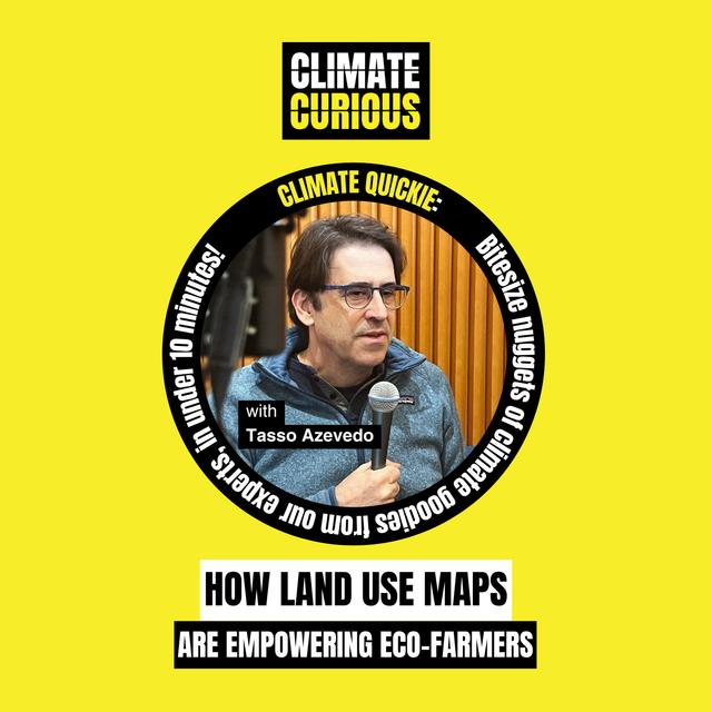
If we can’t track it, we can’t fix it. That’s the idea behind MapBiomas, a project using satellite data to reveal exactly how land use is changing across the tropics. Founder Tasso Azevedo joins us live from TED 2025 to explain how the google maps for deforestation is empowering farmers and policymakers to turn their land into carbon sinks, not sources—proving that maps, satellites, and transparent data is a powerful climate tool.
Join the upcoming Climate Curious Live podcast event in London, Monday 23 June, 2025. Tickets are free, be quick!
Created by TEDxLondon
Executive produced by Josie Colter
Produced by Ben Beheshty
Curated by Deesha Chandra
Hosted by Maryam Pasha and Ben Hurst
Communications by Tara Cooper and Issey Gladston
Continue the Climate Curious conversation on socials:
Hosted on Acast. See acast.com/privacy for more information.